
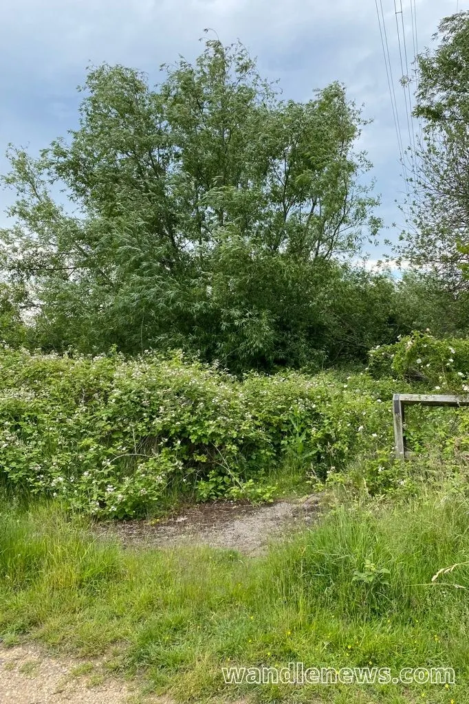
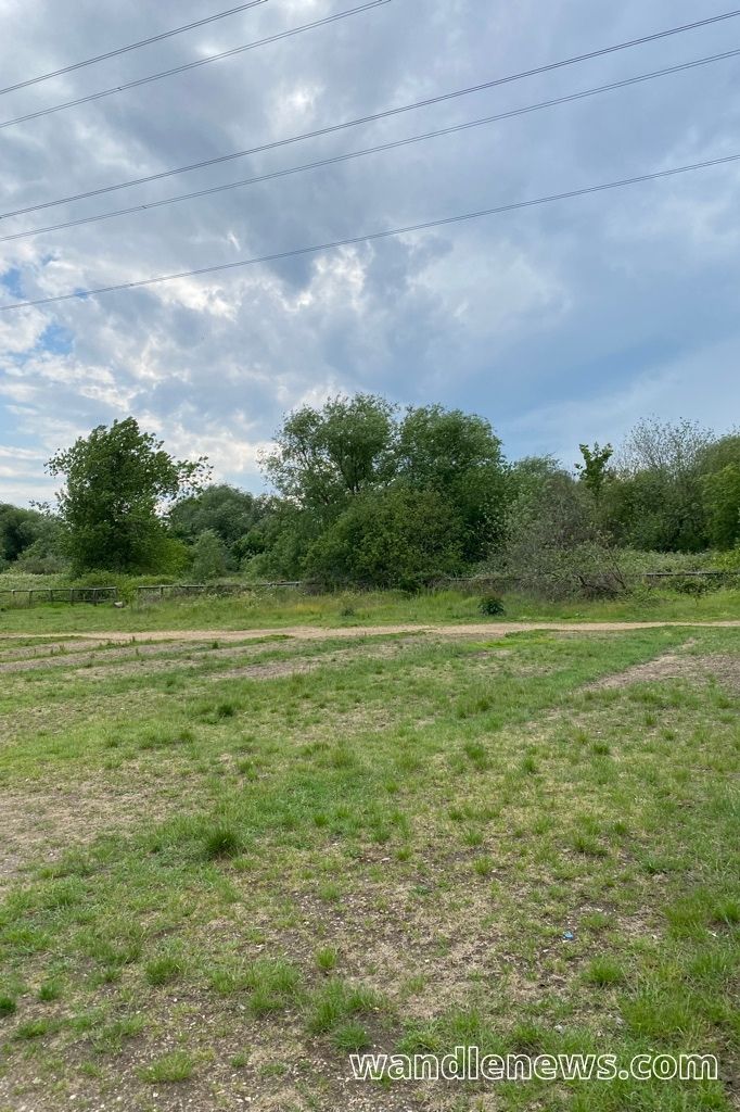
Wandle Meadow Nature Park was once industrial land, but is now a nature reserve in Merton. The park is part of the flood plain of the River Wandle, and one of the points along the Wandle Trail.
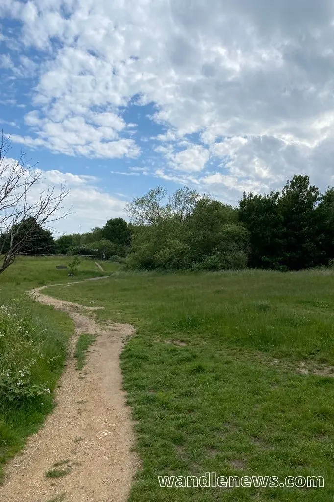
The mixture of habitats within the park attract a wide variety of wildlife and plants. This post has everything you need to know about Wandle Meadow Nature Park including a map, and access information.
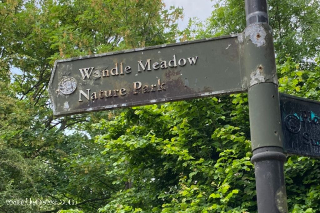

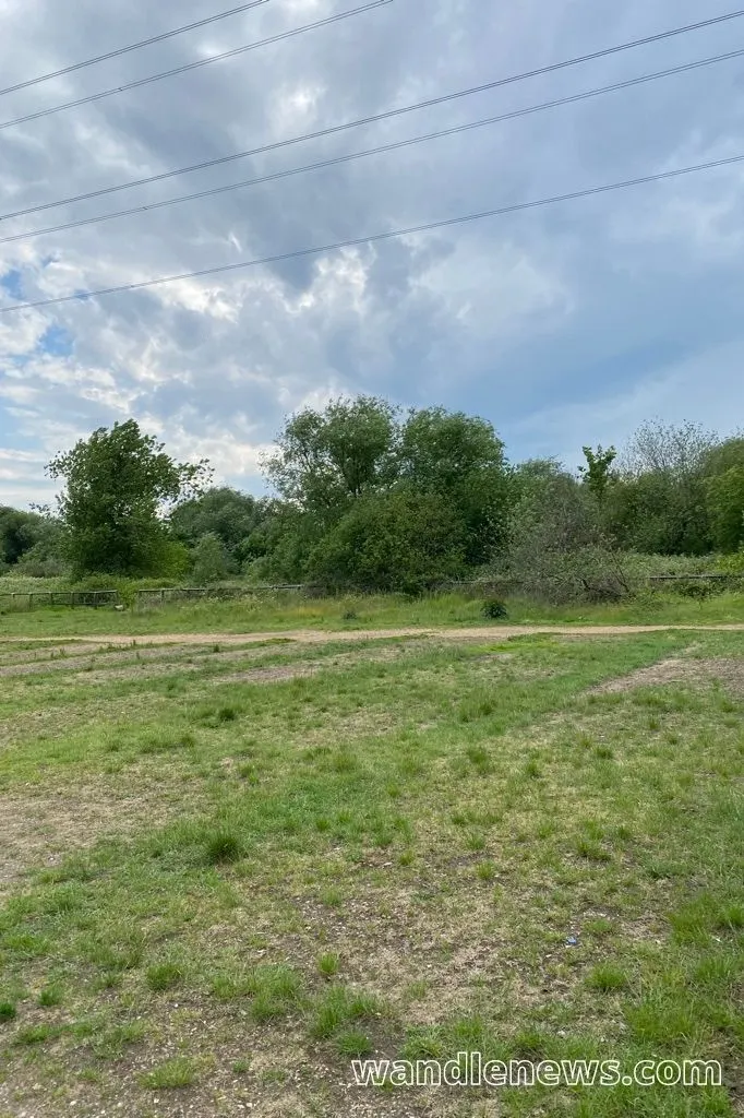
Wandle Meadow Nature Park
Map of Wandle Meadow Nature Park
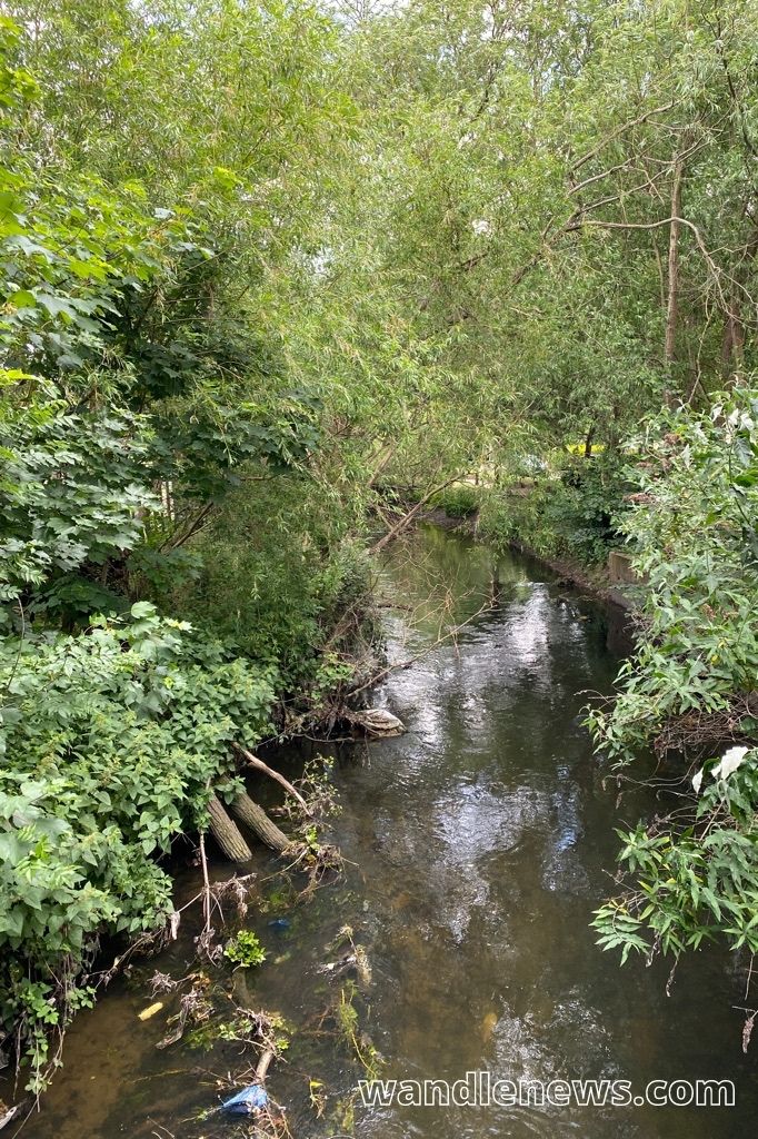
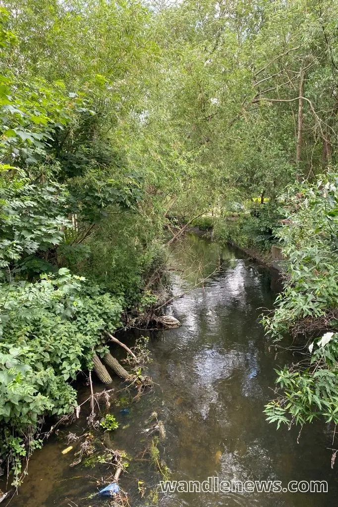
Wandle Meadow Nature park has North Road on its southern boundary, Chaucer Way on its eastern boundary, and the River Wandle on its western boundary. Its northern boundary is the railway line.
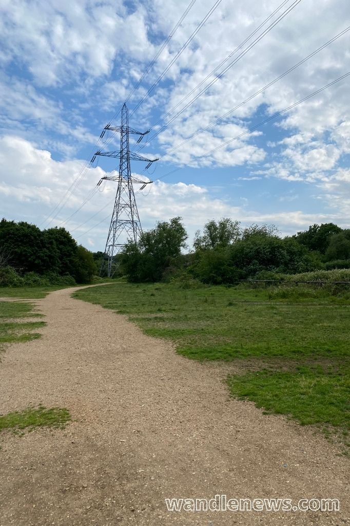
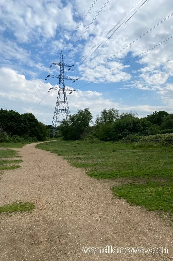
The access points to the park have kissing gates to prevent motorcyclists from entering the site. There is a cycle way along the eastern edge of the park which follows the river trail.
Footpaths with a hoggin surface were built in 1993 starting from North Road and leading northwards towards the wetland habitats. The map below shows the route across the park.

Wildlife and Plants
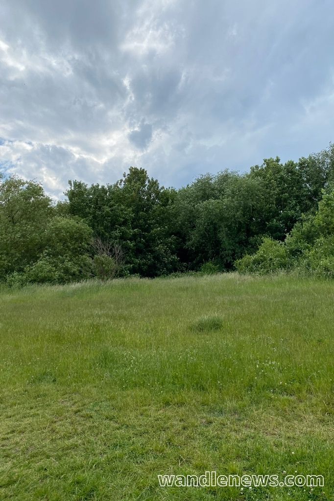
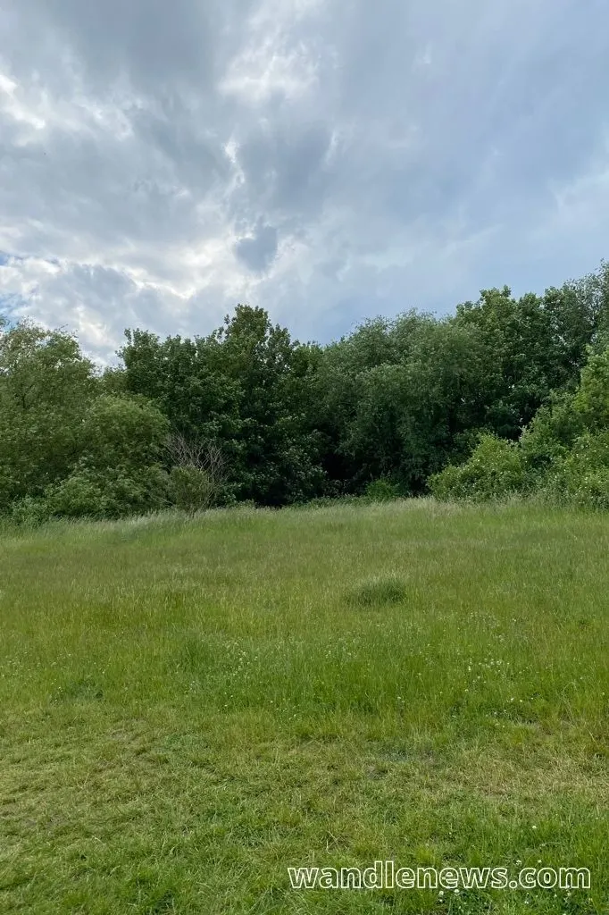
The Wandle Meadow Nature Park is a local nature reserve in the London borough of Merton, and contains a wide variety of birds, animals, dragonflies and plants.
Plants
In 1993 sixteen trees and two thousand hedge plants were planted along the edges of the park next to North Road, Mead Path and the main entrances to the site. They included silver birch, ash, hazel, hawthorn, field maple, dog rose, blackthorn, guelder rose, dogwood, alder, buckthorn and whitebeam.
Birds
The mixture of habitats which includes woodland areas, water meadows, and drier grassland attract many different birds including kingfishers and grey wagtails. The Wandle Meadow Nature Park is a good place to spot a grey wagtail as they like wet marshland and fast flowing rivers.
Ponds
There are small, shallow ponds within the park where you may be able to see toads, frogs and newts. The water, however, is too shallow for a fish population.
Following the Wandle Trail
Wandle Meadow Nature Park is part of the Wandle Trail. If you are following the river path upstream, the next point you will be heading to is Wandle Park.
Both Wandle Park and Wandle Meadow Nature Park contain bodies of water, and are rich in wetland plants.
History of Wandle Meadow Nature Park
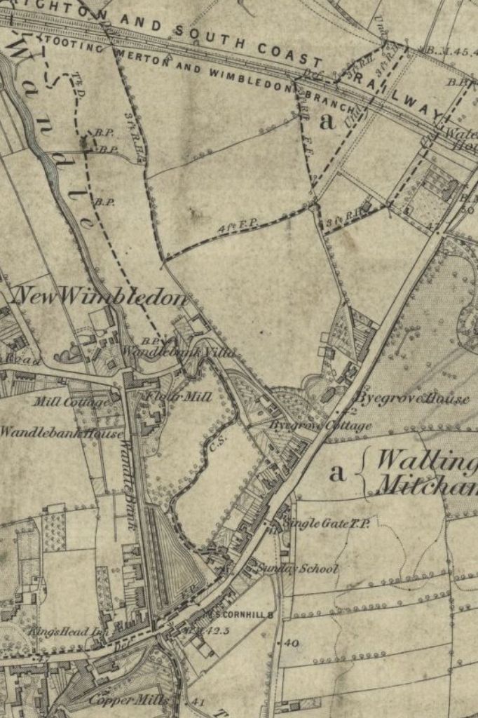
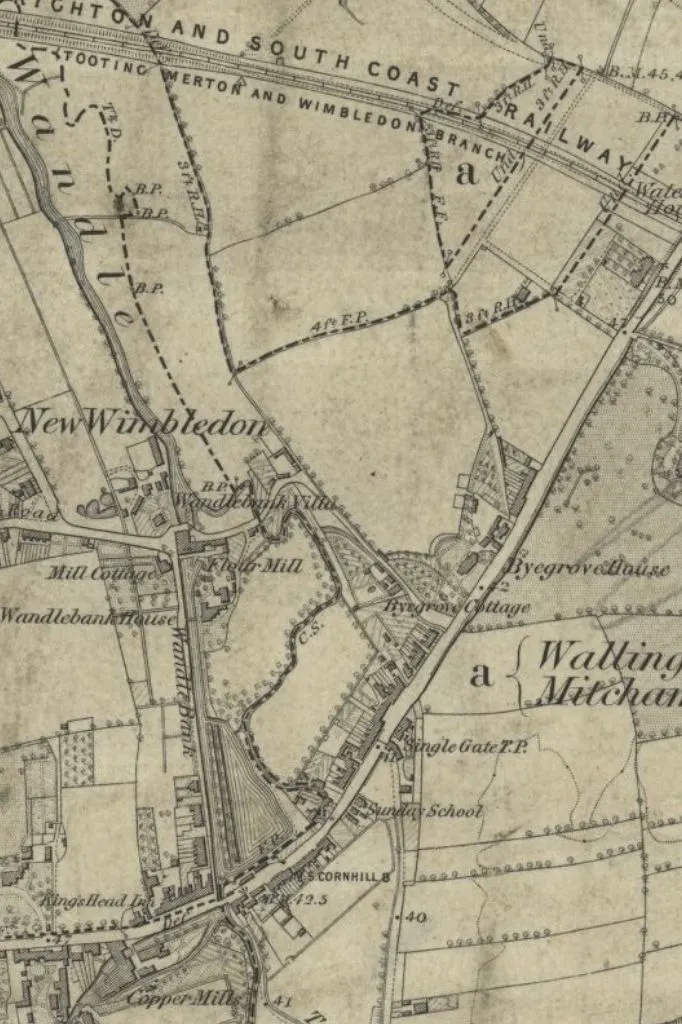
A tithe map from 1847 showed that the area of Wandow Meadow Nature Park was once called Byegrove Mead. In the map below, which is from 1865, you can see the area which is just above Byegrove Cottage and Byegrove House.
The park went on to become a sewage works before being turned into a nature reserve in the late 1980s. In 1986 there had been plans to use the land to build a stadium for Wimbledon Football Club, but these plans were abolished after strong opposition from local residents.
The table below shows the history of Wandle Meadow Nature Park from 1847 until today.
| Year | History of Wandle Meadow Nature Park |
|---|---|
| 1847 | According to a tithe map, the area which is currently Wandle Meadow Nature Park was named “Byegrove Mead”. This land was most likely water meadows, which may have been deliberately flooded in the winter to provide the ideal land for grazing cattle and growing hay crops in the summer. |
| 1877 | The land was bought by a sewage company. Since it was right next to the river Wandle, it was the ideal location for a sewage works. The sewage works remained on the site until the 1970s. |
| 1984 | The land was sold for commercial and industrial development, but it quickly became used for motorbiking and general abuse. |
| 1986 | Merton Council approved plans to build a stadium for Wimbledon Football Club on the land, but these plans were abandoned in 1989 due to strong opposition from local residents. |
| 1989 | Merton Council designated the area as a nature reserve, and it now forms part of the Wandle Trail. |

This post was about Wandle Meadow Nature Park
Thank you for reading my post about Wandle Meadow Nature Park. If you have visited the park please leave me a comment below and let me know your thoughts. The public park is a valuable oasis of abundant plant life, and place for the quiet enjoyment of nature. It’s also a popular place for dog walkers.
Peter Evans
Friday 14th of March 2025
Olivia, I remember when this area was still used for water treatment. My grand parents lived in Haydons Road and from Garfield Road Recreation Ground I remember seeing the expulsion of water into the river with a loud boom!
Peter Evans
Friday 25th of October 2024
I've visited this area many times over the years. I remember it being a water treatment works with the thunderous gush of water being expelled into the river. I watched it from Garfield Road. It is now a really peaceful nature reserve and a lovely place to walk along the river.
Ingrid
Saturday 11th of March 2023
The Council is heavily pollarding trees on the river walk/Wandle trail between Plough Lane and the Nature Park alongside the industrial estate. This can not be called 'pollarding' and rather resembles environmental vandalism as they are removing much of the 'green screen' between the riverwalk and the industrial units. I dread to think what they may do to the opposite site where there are lovely large trees. Some of these need to have some branches removed as they overhang allotments but it now looks as if the Council is trying to safe future years of pruning and going at it with such gusto as to cut down some trees to the ground, and that at the start of the 'nesting season' for birds! All they needed to do was to cut the branches which have fallen into the river and pollard some overhanging branches. This summer we will miss the leafy corridor and our birds will too.
Lynn
Thursday 19th of January 2023
Are there any pictures of the buildings that were there before? There are some red tiled areas which look like they used to be ‘floors’, but floors of what?