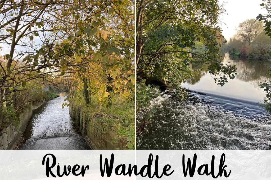
The Wandle Trail starts where the Wandle meets the River Thames Path in Wandsworth, and runs all the way to Carshalton and Croydon, past Earlsfield, Wimbledon, Mitcham, Morden Hall Park, Deen City Farm and Merton Abbey Mills. If you haven’t discovered the river Wandle walk yet this guide contains everything you need to know!
Just so you know, some of the links below are affiliate links, so I will receive a small commission (at no extra cost to you) if you buy through the links.
- Hardcover Book
- Steel, Robert William (Author)
- English (Publication Language)
Last update on 2025-06-20 / Affiliate links / Images from Amazon Product Advertising API
River Wandle Walk
The River Wandle walk runs for 14 miles in total. It has both cycle and walking routes, which are the same for most of the path, but divert in certain places. It is a great way to get some exercise and fresh air whilst finding out about our local history!
The Wandle is a fast flowing river and was known in the past to have powered over 90 working mills. These mills produced goods such as copper, wheat, gunpowder, textile, paper and snuff. It is also a very clean river and is the home to many fish and birds including herons, eels, brown trout and shrimp.
The Wandle is also a chalk stream meaning it has a chalk bedrock. Chalk streams contain very little sediment and organic matter, so are usually very clear. Their mineral content, flow rate, and temperature range also have less seasonal variation compared with other types of river.
There are only 210 rivers classified as chalk streams in the world so the Wandle is very special. It is one of the 160 chalk streams in England. Most of the others are in Berkshire, Hampshire, Wiltshire, Dorset, and the Isle of Wight.
There are many different points that you can join the river Wandle Walk. Below is a list of points along the river where you may wish to start. They start from our end of the path, here in Wandsworth. If you use this guide to plan your walk along the Wandle trail please tag us with @WandleNews in any photos on Twitter and Instagram!
Points of Interest Along the Wandle River Walk
- 1. The Spit/The Causeway
- 2. Ram Brewery
- 3. King George’s Park
- 4. The Dividing Line Between Wandsworth and Merton
- 5. Meeting point with the River Graveney
- 6. Wandle Meadow Nature Park
- 7. William Morris Factory Site
- 8. Merton Abbey Mills
- 9. Merton Priory Chapter House
- 10. Merton Priory Walls
- 11. The Pickle Ditch
- 12. Deen City Farm
- 13. Morden Hall Park
- 14. Ravensbury Mill
- 15. The Wandle Industrial Museum
- 16. Watermeads Nature Reserve
- 17. Wilderness Island
- 18. Carshalton Ponds
- 19. Honeywood Museum
- 20. Carshalton Water Tower
- 21. Beddington Park
- 22. Beddington Farmlands Nature Reserve
- 23. Carew Manor
- 24. Beddington Mill
- 25. Waddon Ponds
1. The Spit/The Causeway
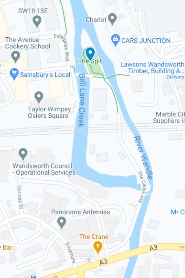
This is the point where the River Wandle meets the Thames. You will find a small island here around which the River Wandle splits into two and a path known as The Causeway. The island contains a small nature reserve and a piece of public art called “The Sail”.
Along The Causeway is a sluice gate just before the railway bridge. The gate contains a bell which is rung twice a day to signal the high and low tides. It is inscribed with the words “I am rung by the tides”, and above the bell are the words “Salmon, Swan, Otter, Heron, Eel” to celebrate the wildlife that has made the River Wandle its home.
To continue the walk cross over the A3 main road.
2. Ram Brewery
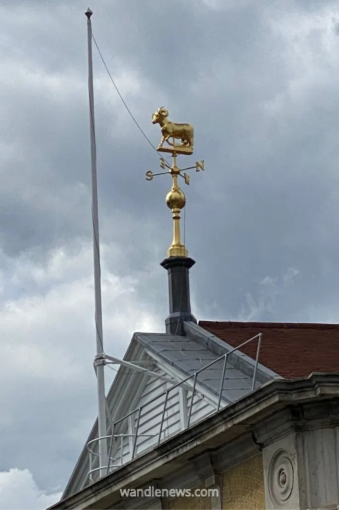
This is the site of The Ram pub which dated back to 1550 and began brewing beer in 1576. In 1831, the Ram pub was bought by the Young family and became Young’s Ram Brewery. The brewery supplied beer to pubs in London and the surrounding area. It became the oldest brewery in continuous operation until 2006 when it finally closed after the founder’s second great grandson died. Their last batch of beer was served at his funeral.
Today the Grade II listed heritage site is being turned into a residential area called The Ram Quarter. A micro-brewery has opened in one of the original brewery buildings to maintain the local brewing tradition.
To continue the walk cross over Wandsworth High Street, turn right and walk down Buckhold Road. Join the path again once you reach the start of King George’s Park
3. King George’s Park
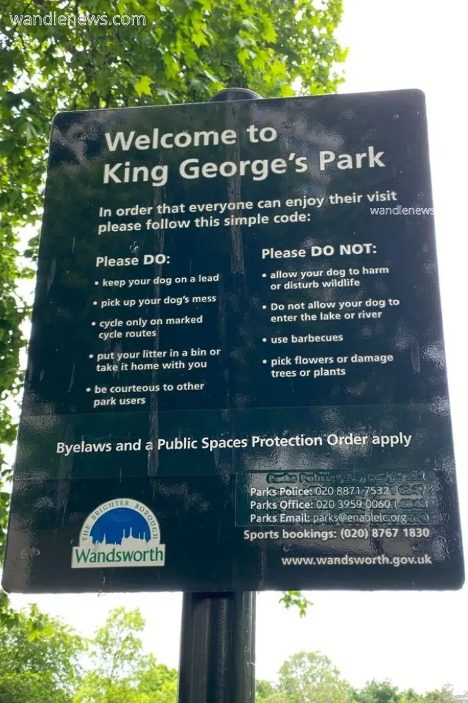
This part of the River Wandle Walk is the last part within Wandsworth before you enter Merton. The park was opened in 1923 by King George V himself. It is nearly a mile long and runs from Wandsworth town centre to Earlsfield with the River Wandle as its eastern boundary.
King George’s Park contains a lake, ornamental gardens and an ecology site. The area is important for wildlife and there is also a leisure centre, bowling green and tennis courts.
The River Wandle Walk departs from the riverside as it enters Earlsfield, as currently there is no path along that part of the stream. You will leave the path onto Acuba Road. Turn left onto Penwith Road and then right on Garratt Lane. The path picks up again via Summerley Street after you have passed under Earlsfield Railway Bridge.
4. The Dividing Line Between Wandsworth and Merton
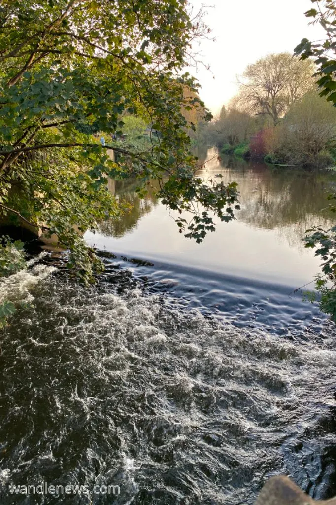
The river trail continues via Summerley Street and Trewint Street where you will see one of the river’s many weirs (pictured below). At this point you will cross the dividing line between Wandsworth and Merton. The path then passes the site of the former Wimbledon Greyhound Stadium on the left and the area of Summerstown.
This section of The Wandle was once the site of many mills where wigs and silk products were manufactured as well as brass plates for kettles and frying pans. The workers were villagers from the nearby hamlet of Garratt, which is where Garratt Lane gets its name.
This area was also once famous for its mayoral election hustings which attracted large crowds. At the time, the mayor looked after an association of villagers that was formed to resist encroachments on Wandsworth Common.
5. Meeting point with the River Graveney
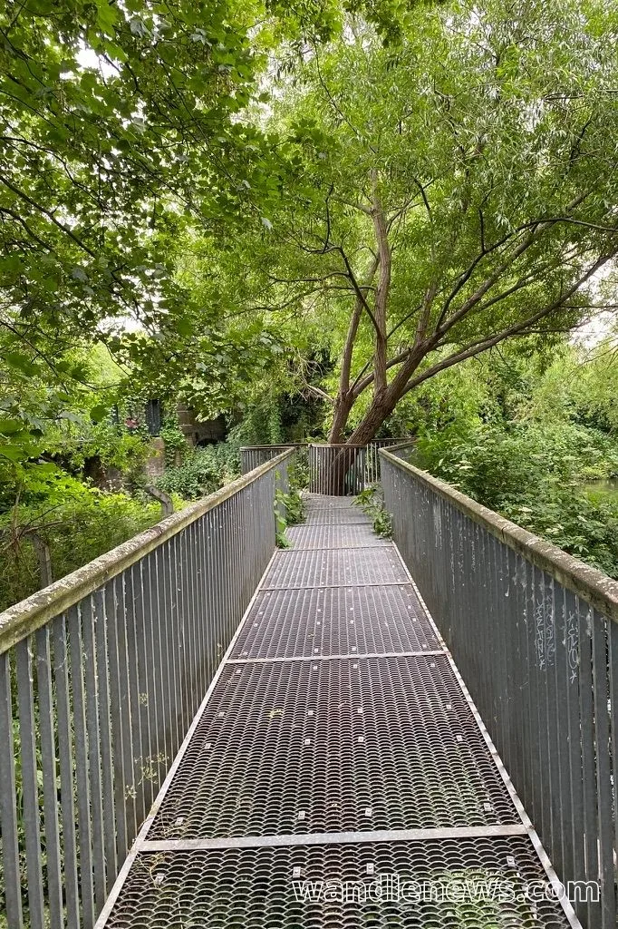
Shortly after you have crossed over Plough Lane you will reach the point where the Wandle meets the River Graveney. The meeting point is marked by a small viewing platform.
6. Wandle Meadow Nature Park
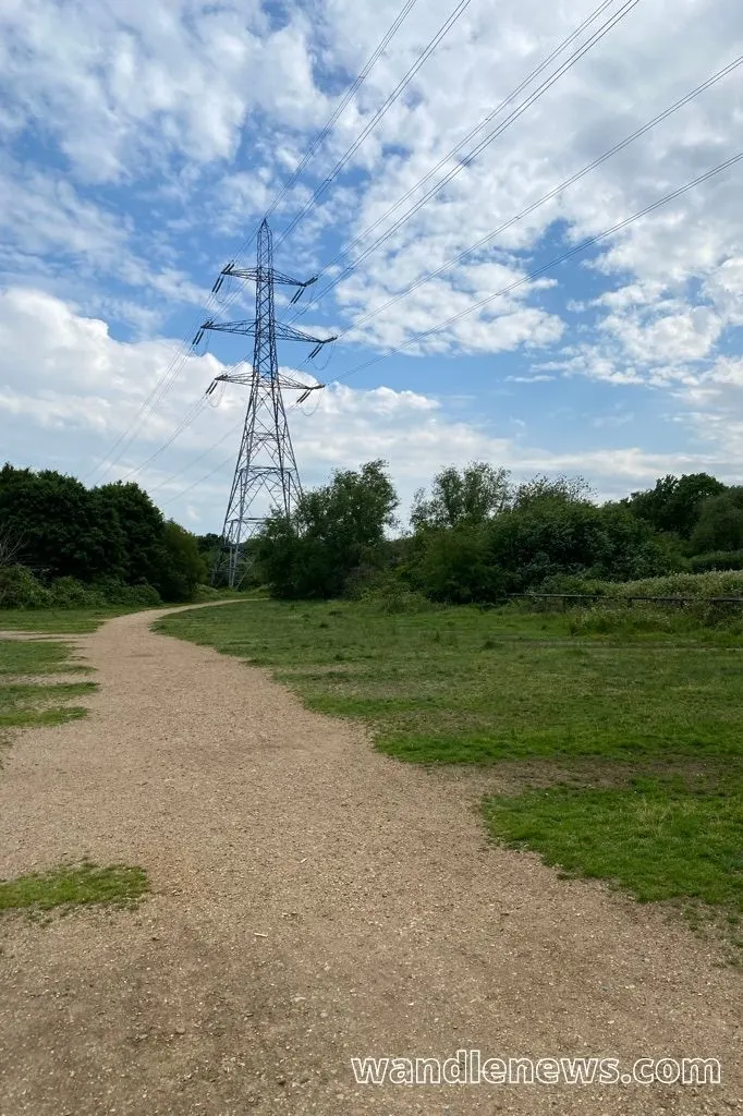
Once you have walked under the railway line you enter into Wandle Meadow Nature Park. In 1877 this site was bought by a sewage company and became the home of Wandle Valley Sewage Works for 93 years until it closed in 1970.
In 1989 the land became a nature reserve and is now home to a variety of wildlife including toads, frogs, and dragonflies. It is owned and managed by Merton Council.
After leaving Wandle Meadow Nature Park, the path leads through Wandle Park to Merton High Street.
7. William Morris Factory Site
The path now comes out onto Merton High Street and around Sainsbury’s. This is the the former site of William Morris’ factory which he opened in 1881 and produced his famous printed textiles and hangings.
William Morris moved his factory to Merton Abbey Works from Queen Square and Great Ormond Yard when his current sites did not have space left to accommodate the new looms. The new site allowed him to manufacture everything under one roof, gave him access to chalk stream water which was ideal for dying cloth, as well as put the factory close to the water mill.
The factory closed in 1940. The Sainsbury’s is currently on the site where the factory once stood.
8. Merton Abbey Mills
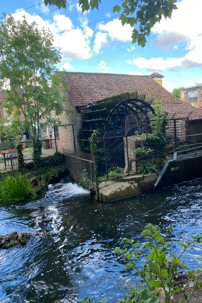
Merton Abbey Mills takes its name from the Merton Priory which was one of the most important monasteries of the middle ages. The Priory was founded in 1114 and stood on this site until 1538. By 1600 many textile mills had been built here next to the River Wandle.
The river was not only a source of power but due to being a chalk stream it was idea for washing, dying and printing textiles. By the end of the eighteenth century there were over a thousand people employed by the texile mills and their associated businesses near the River Wandle. At the time the River Wandle was one of the hardest working rivers in Europe.
Today Merton Abbey Mills is a craft market but still has a working mill and a theatre. You can see signs of the former textile shops that date back to the nineteenth century. It also has a number of great restaurants and a crystal shop!
9. Merton Priory Chapter House
The remains of what was once the Merton Priory Chapter House have been excavated and can be viewed in an enclosure which is under Merantun Way. The ancient monument is 900 years old. From 1114 until 1538, Merton Priory was one of the most influential monastic houses in the country.
Today the Merton Priory Chapter House has been described as one of the most important heritage sites in England. It has links to the origin of English Law, Thomas Beckett, King John, and King Henry VIII.
In 1130 Thomas Becket studied at Merton Priory. He later went on to become the Archbishop of Canterbury.
In 1236 the first recorded English parliament was held in Merton Priory under Henry III to agree that local Lords of the Manor could close off common land as long as they left enough pasture for their tenants.
In 1538 the monastery was destroyed by King Henry VIII.
The Priory will be open again from 25 April – 31 October 2021 on Sundays 11:00-16:00. If you are leaving this point in the River Wandle Walk the nearest tube stations are Colliers Wood or South Wimbledon on the Northern Line.
10. Merton Priory Walls
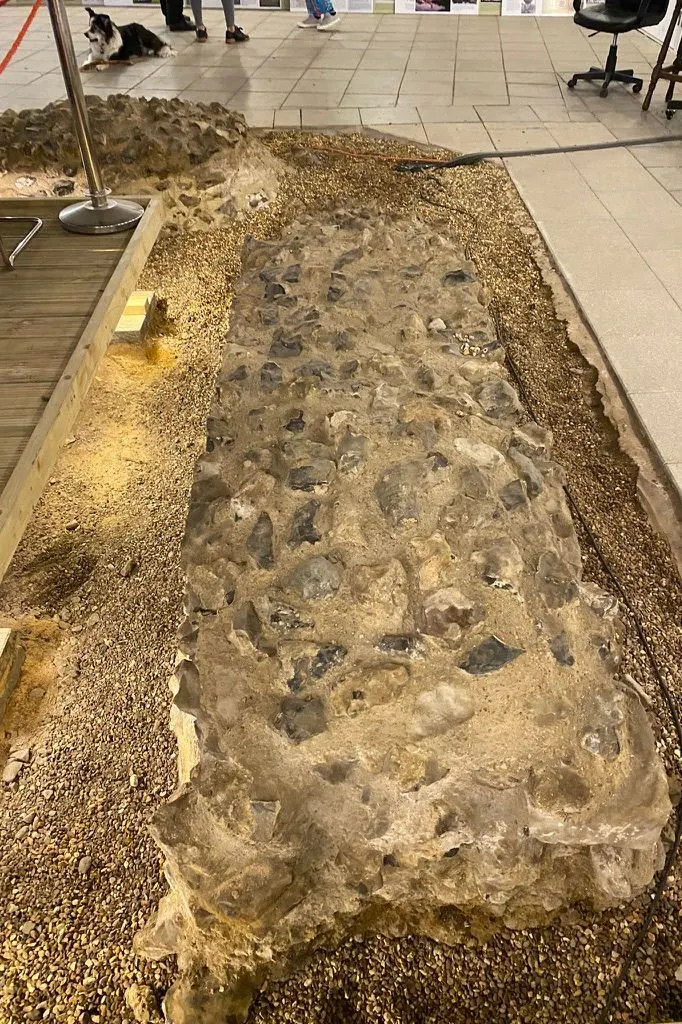
Some surviving sections of the old priory wall still exist in the area. The Priory’s original archway was one of the last relics visible above ground. It dated from the 12th Century. Today it has been rebuilt. The new archway is in a slightly different position but you can still see the base of the original doorway which is visible from the pavement.
Although the surviving fragments of the wall have been repaired they still contain the original dressed flint and stone rubble of the original wall.
11. The Pickle Ditch
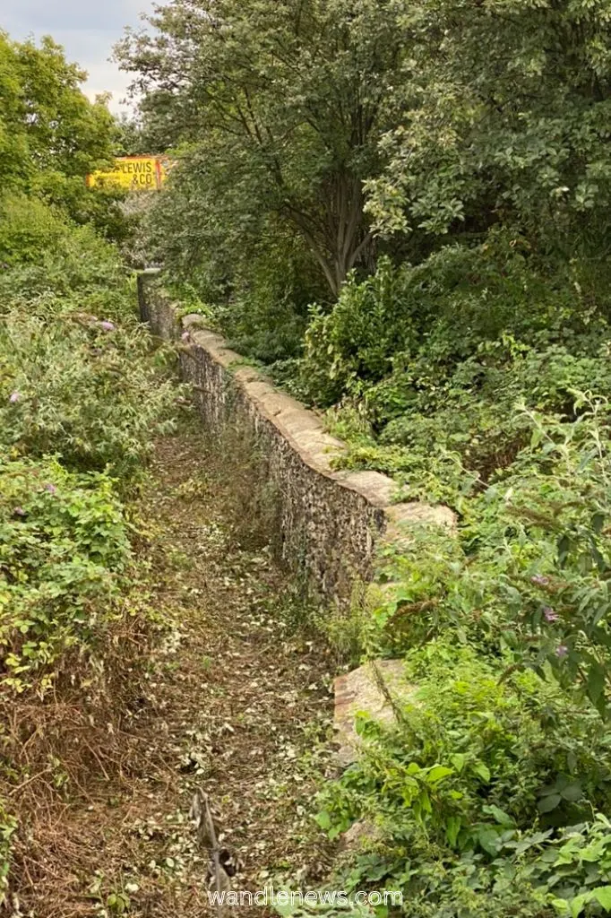
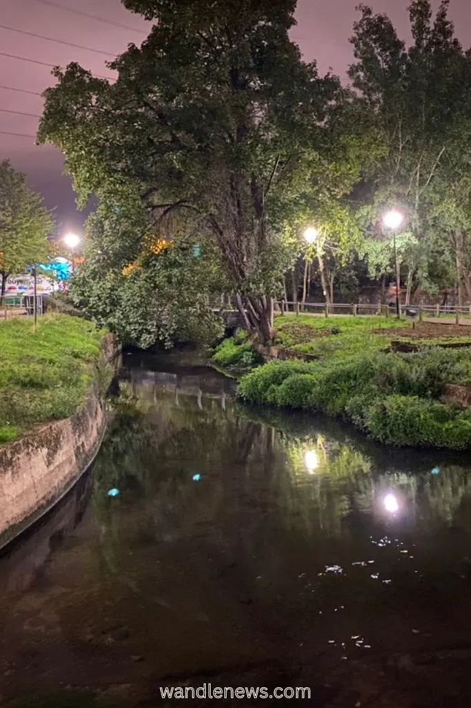
The Pickle Ditch is the original course of the River Wandle. It leaves the current River Wandle path in the Phipps Bridge area and then rejoins the main river again at Merton Bridge. The diversion flows for 913 metres in total.
12. Deen City Farm
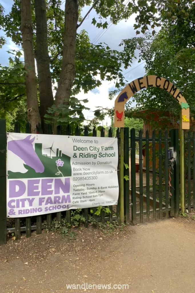
The River Wandle walk continues past Deen City Farm. This is a working farm with a range of different animals including chickens, alpacas, and guinea pigs as well as a barn owl called Edna.
The original farm, established in 1978, used to be on the site where Phipps Bridge Estate currently stands. It moved to its current site in 1994 and became part of the National Trust’s Morden Hall Park.
13. Morden Hall Park
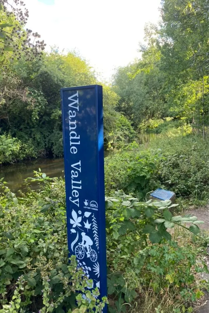
The Wandle trail is well signposted through Morden Hall Park, which is free of charge. The park, which is owned by the National Trust, is over 50 hectares of land. It was formerly a deer park which was owned by Westminster Abbey.
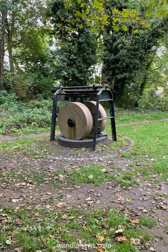
Morden Hall itself is currently empty but was once a private residence for the Garth family and a tobacco merchant named Gilliat Hatfield. At that time the park contained snuff mills which ground tobacco into snuff to generate the park’s income. The snuff mills are still there and one of the waterwheels has been restored.
During the First World War the hall was a military hospital and previously a school for gentlemen in the 19th century.
Morden Hall Park also has a rose garden which has existed for over a hundred years. Some of the trees in the rose garden are of immense size and probably many centuries old.
Morden Hall Park has a garden centre and café on site. If you want to leave the River Wandle Walk here, you are a 5 minute walk from Morden underground station (via Morden Hall Road and London Road).
14. Ravensbury Mill
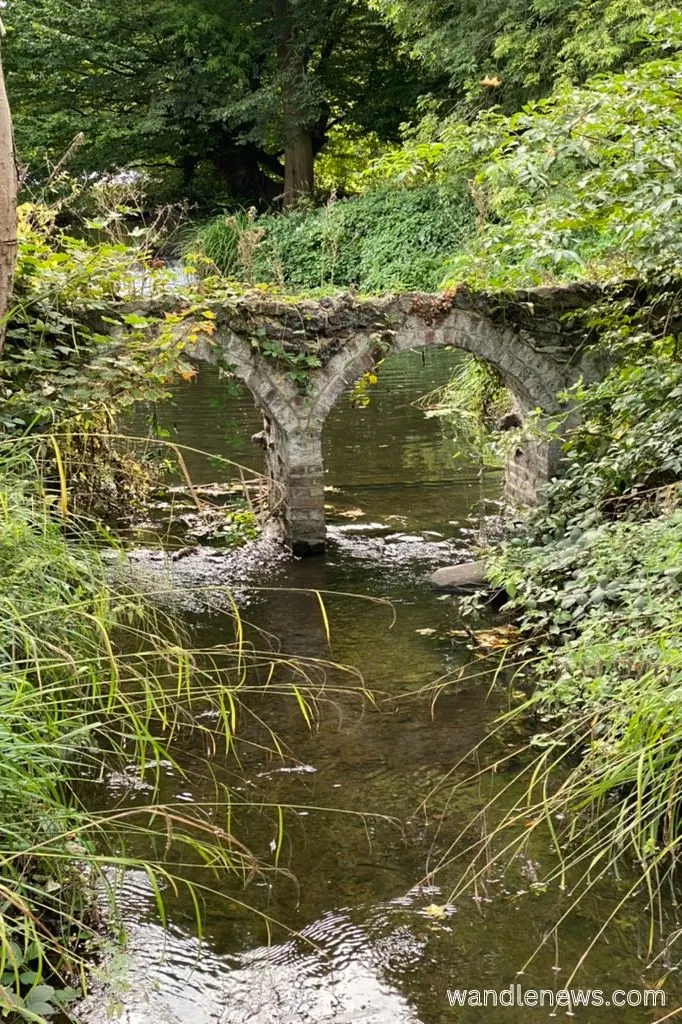
After you leave Morden Hall Park the trail leads into Ravensbury Park which is the location of Ravensbury Mill.
Ravensbury Mill was used for snuff production up until 1926, and was one of the last working mills on the Wandle, generating electricity until the 1960s.
The earliest reference ever found for a mill being located on the Wandle was on a rent roll for the Manor of Ravensbury. It referenced rent being paid on a newly build mill just below Ravensbury House.
15. The Wandle Industrial Museum
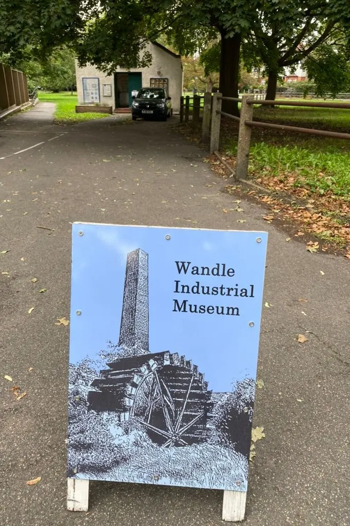
The Wandle Industrial Museum is not on the Wandle trail itself but located not far away on London Road. It is a great place to learn more about the history of the people and industries of the River Wandle.
The museum, which is run by volunteers, was founded in 1983 to preserve the heritage of the area. It has displays about well known companies such as Young’s Brewery, Liberty & Co. and William Morris.
You will also find the stories of many of the mills that operated along the River Wandle, particularly those involved in snuff production. There’s also information about the textile mills and lavender growing industry.
16. Watermeads Nature Reserve
After crossing over London Road you enter into the Watermeads Nature Reserve. This 11 acre area is one of the National Trust’s earliest acquisitions and opened to the public in 2005 after being locked away for 100 years.
Since the site opened it has had new paths and bridges put in as well as a sluice to drain water and improve the wetlands habitat for wildlife.
Historically the Watermeads had a trout stream, and in the middle ages the land here was used for grazing animals. In the 19th century there were 4 mills along this part of the Wandle River.
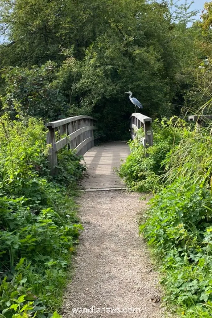
17. Wilderness Island
Wilderness Island is where the River Wandle branches into two with one arm going towards Croydon and the other going towards Carshalton. The island is a nature reserve with public access and has a variety of wildlife including woodpeckers, kingfishers and butterflies.
The nature reserve is owned by Sutton Council and is managed by the London Wildlife Trust. It was once the site of copper mills in the 17th century and a a branch terminus of the Surrey Iron Railway.
18. Carshalton Ponds
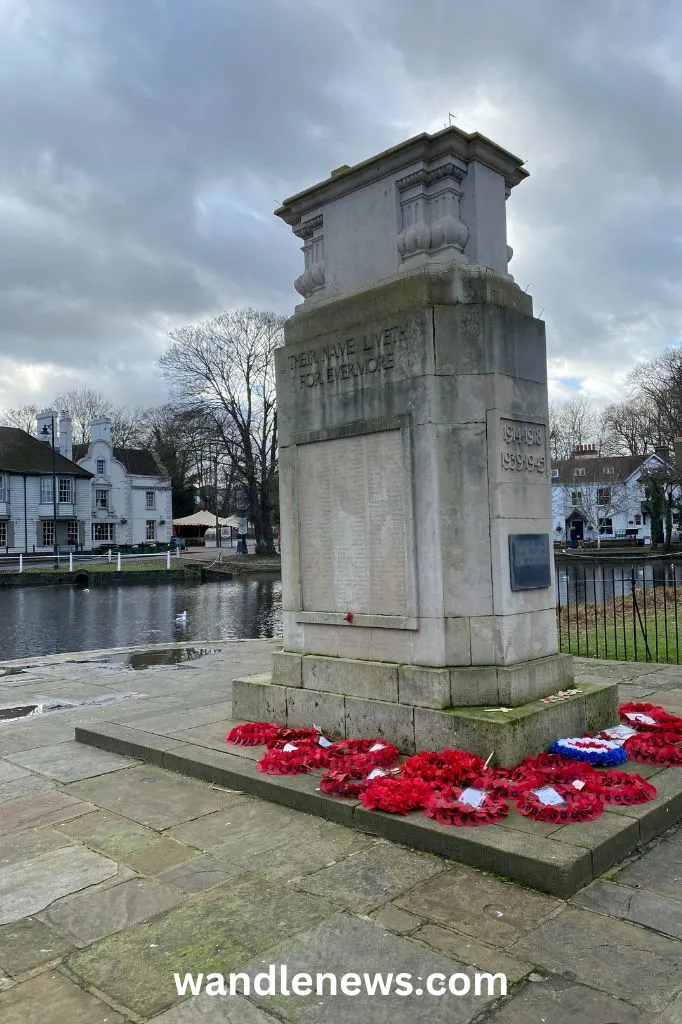
The River Wandle Walk then leads past the Grove and loops round Carshalton Ponds.
The springs and ponds in the centre of old Carshalton date back for centuries, and in early Saxon times there was a settlement on this site.. At one time it was just a single pond but was divided into two in the 15th century to create one pond for the public and one to drive power to the mill that ground corn for Carshalton.
19. Honeywood Museum
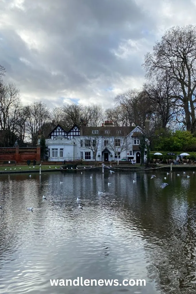
The Honeywood Museum is a Grade II listed building overlooking Carshalton Ponds. The museum received a grant from the Heritage Lottery Fund which allowed the building to be renovated. It opened to the public in 2012.
The house dates back to the 17th century and it was believed to originally house a cold water bath that people would visit to cure their illnesses. The house was extended in Victorian and Edwardian times, and the current museum tells the story of the house and its former residents.
The museum also has a coffee shop and store.
20. Carshalton Water Tower
The Carshalton Water Tower is a Grade II listed building that dates back to the early 18th century. It is situated within the grounds of Carshalton House in Surrey. The building contained a water powered pump which supplied water to Carshalton House and kept the garden’s fountains flowing.
The tower contains an 18th century bathroom with a cold bath lined with blue and white tiles. There is also a saloon and orangery which was once used for entertaining guests. The tower is surrounded by a garden.
It’s possible to visit the Water Tower on Sunday afternoons between Easter and the end of September.
21. Beddington Park
To join the path again towards Croydon you would walk up Acre Street and then London Road where you re-meet the Wandle River at Beddington Park.
In the 14th century Beddington Park was once a much larger deer park owned by the Carew family. The Carew family’s old manor house still stands in the park but is today Carew Academy. The park is 58 hectare in total and runs across Beddington, Hackbridge, and Wallington.
In 1930 a Roman stone coffin was discovered in the park. It is believed that the north side of the park was where a grand villa and bath-house once stood in Roman times.
22. Beddington Farmlands Nature Reserve
Beddington Farmlands Nature Reserve is away from the river bank but contains a few small lakes. It is one of the largest green spaces in south London making up 161 hectares. It is an important area for wildlife containing marshy fields that support many habitats.
The nature reserve is a short walk away from the Wandle Trail but close to the route of the Wandle.
23. Carew Manor
The River Wandle Walk leads you past Carew Manor. This is the former home of the Carew family who once owned the deer park of Beddington. They moved into the manor in the 14th century when it used to be a moated medieval mansion. The family were well known in Tudor times and it is believed that Elizabeth I and Sir Walter Raleigh used to walk in the grounds.
Henry VIII, visited Carew Manor many times to spend time with Anne Boleyn, while still married to Catherine of Aragon. In later years, it was also the place for his secret meetings with Jane Seymour. Sir Nicholaw Carew was a prominent member of the King Henry’s Court until he was until executed for treason in 1539.
The house was rebuilt in 1709, the new building containing a banqueting hall with a hammerbeam roof. This hall still survives today and is occasionally open to the public. There is also an orangery in the grounds which claims to contain the first orange trees ever planted in England. A Tudor garden and grotto have also been discovered.
The Carew family lost the house by 1850 due to bad debts. The Royal Female Orphanage was housed there between 1866-1968.
24. Beddington Mill
The River Wandle Path leads past the Beddington Mill. This was an ancient milling site. The last mill to be built there was a corn mill in 1850; this building currently still stands but has been converted into flats. The Domesday book of 1086 records four mills in Beddington. It is recorded that Sir Francis Carew owned two of the Beddington Mills in 1610 when he signed a petition to the Lord Chancellor against a proposal to extract water from the Wandle.
25. Waddon Ponds
As you come to the end of the River Wandle Walk you will reach Waddon Ponds. Waddon Ponds, which is fed by springs, is one of the main sources of the river. At one time these ponds were part of a large estate but today the grand house and mill which once stood north of Mill Road are both gone.
The ponds were once millponds, feeding a corn mill dating back to medieval times.
Once you have reached Waddon Ponds you are a 12 minute walk away from East Croydon Station.
Wandle Trail Map
Guidebooks for Walking Along London’s River Trails
I hope you love the guidebooks I recommend! Just so you know, these are affiliate links, so I will receive a small commission (at no extra cost to you) if you buy through the links. This commission helps me to cover the costs of running the website for which I’m very grateful.
- The River Wandle Companion and Wandle Trail Guide
- London’s Lost Rivers: A Walker’s Guide
- London’s Lost Rivers
- London’s Hidden Rivers: A Walker’s Guide to the Subterranean Waterways of London
- London’s Waterside Walks: 21 Walks Along the City’s Most Beautiful Rivers and Canals
- Walking London’s Waterways: Great Routes for Walking, Running, Cycling Along Docks, Rivers and Canals
Cycling the Wandle Trail
The Wandle Trail is a 14 mile walk or a 12 mile cycle route. The cycle route is on the National Cycle Network and connects the Thames path in Wandsworth to Carshalton. It cycle trail follows the route of the Wandle but diverts in some places from the walking path. It is almost entirely away from residential streets.
The route is part of Route 20 on the National Cycle Network. Route 20 contains two sections, Wandsworth to Carshalton and Pyecombe to Brighton. It is 28.7 miles in total and estimated to take 2 hours 20 minutes. You can view the full route and map here.
Articles Related to the River Wandle Walk
- The threat to chalk streams, our unique contribution to global ecology
- Information about Carew House
- Another Perspective of the Wandle Trail
- Captions Your Can Add to your River Wandle Photos on Instagram
FAQs on the River Wandle Walk
How long is the Wandle Trail?
The Wandle Trail is 14 miles long. The path follows the River Wandle and runs from Croydon or Carshalton through to where the Wandle meets the River Thames in Wandsworth. The trail passes through the London boroughs of Croydon, Sutton, Merton and Wandsworth.
Where does the Wandle Trail start?
Depending on which direction you want to walk along the Wandle Trail you could either begin at The Spit in Wandsworth where the Wandle meets the Thames, or at the other end of the trail where there are two starting points: the Wandle Park in Croydon or Carshalton Ponds.
Where can I fish on the River Wandle?
There is easy access to the river from the parks and at certain points in the middle of the trail and close to Trewint Street where the river runs close to the path. Anglers are encouraged to return any fish to the water and are advised against eating them.
Can you swim in the river Wandle?
The Wandle River is not a place to swim. It’s possible to paddle in the river in places; the easiest point to do this is in Morden Hall park. Paddling in the Wandle River however is not recommended as it is not guaranteed to be safe.
Can you walk along the River Wandle?
The River Wandle Walk follows the river for most of the route although it diverts in certain places where a path has not yet been built next to the water. The path takes you through over ten different parks and green spaces and down a couple of streets.
Where does the River Wandle begin and end?
The River Wandle is a has two starting points, one in Croydon and one in Carshalton. The two paths meet at Wilderness Island where they form one stream and flow north where they meet with the Thames River in Wandsworth.


Pete Screen
Tuesday 7th of February 2023
I really enjoyed this article, it's a very intesting read.
Joseph Perkins
Friday 9th of December 2022
I really enjoyed reading this..I was born in Penwith road which is mentioned in the article and went to Wandle primary school which was bordered by the river..I lived in that area until the day after my 16th birthday but moved away to Tooting Bec and various other locations before settling in Essex..I have been meaning for many years to go back to my old childhood haunts and seeing the pics of the Wandle looking very pristine has me wanting to arrange an extended visit in 2023 when the weather is warmer and i will be able to see the greatly improved river once again for the first time in almost 44 years.. Thank you for jogging a lot of good memories and i look forward to following this site.
Sebastian
Wednesday 13th of July 2022
Is there an assigned place with barbecue facilities?
Olivia Herlihy
Saturday 23rd of July 2022
I haven't seen any barbecue facilities along the Wandle Trail.
Sebastian
Monday 11th of July 2022
Is there an assigned place with facilities to barbecue?
Sue Mepham
Wednesday 20th of April 2022
Brilliant, well done. I have walked some of this route already but will be walking the rest very soon. Thanks for the information on the various sites. I hope to see both museums when possible, Thank you so much.